
Bahamas News
BEST Workshop on National Biodiversity – Bahamas Law Enforcement
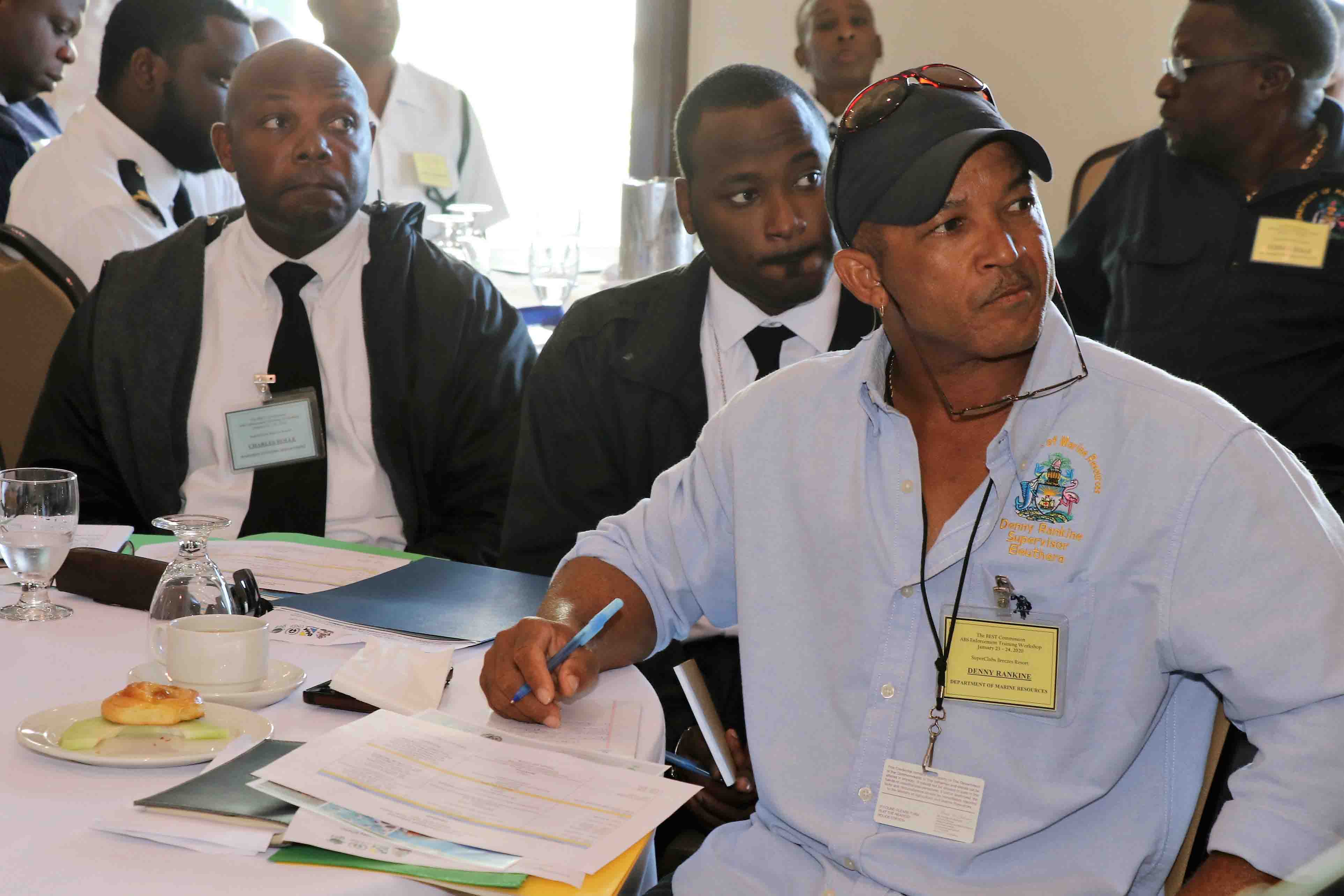
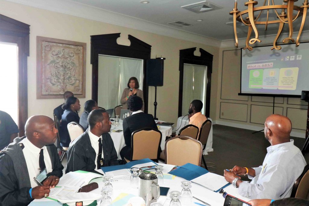
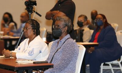
#NASSAU, The Bahamas — January 29, 2020 — The Bahamas Environment, Science and Technology (BEST) Commission, Ministry of the Environment and Housing, facilitated a Biodiversity – Law Enforcement Workshop in relation to the implementation of the project entitled: “Strengthening Access and Benefit Sharing (ABS) in The Bahamas,” January 23-24, 2020, at SuperClubs Breezes.
According to BEST Commission, the participants of this workshop included agencies whose respective mandates have bearing on environmental law enforcement, namely, Department of Customs, Department of Immigration, Royal Bahamas Defence Force, Royal Bahamas Police Force, Office of the Attorney General, and the Department of Marine Resources.
Moreover, the Commission pointed out, focal persons from those agencies comprise a team that will carry on their respective mandates with respect to the implementation of the ABS project and harmonize with the
ongoing initiatives of other enforcement authorities.
The BEST Commission, through implementation of the ABS Project, will introduce a new concept of collaboration, especially in areas of conservation and protection,” it stated in a release. “A collective effort and collaborative actions are needed in order to foster functional and effective law enforcement undertakings.”
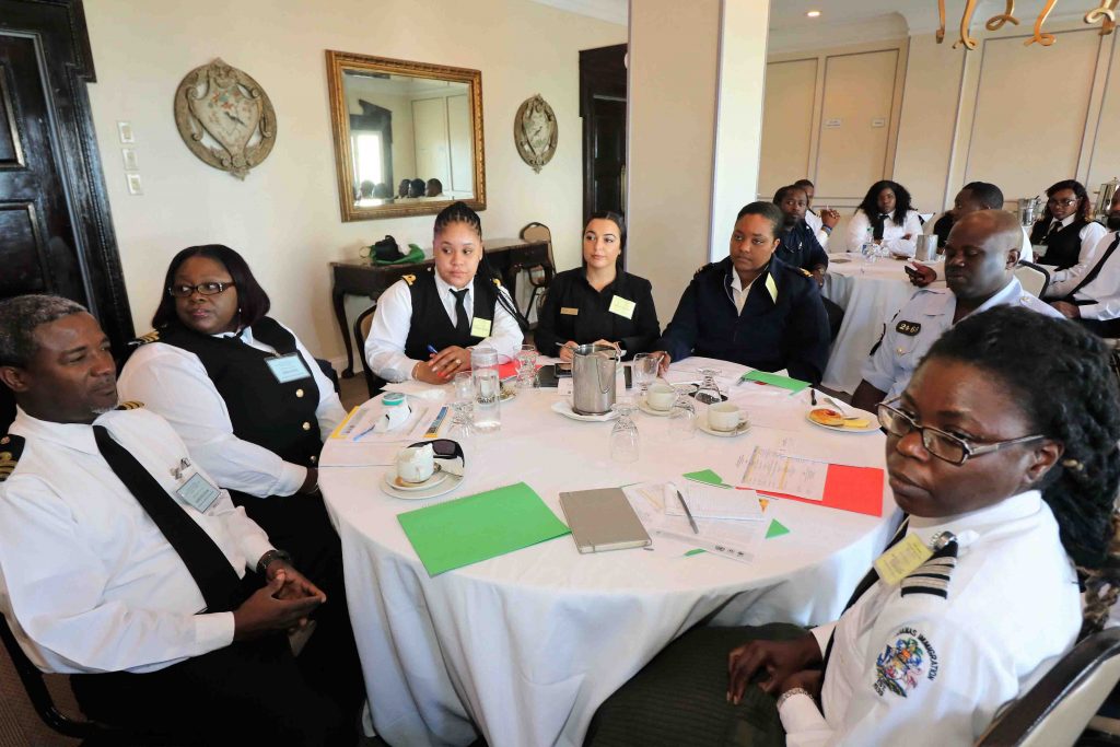
The goal of the Law Enforcement workshop was to influence law enforcement authorities in enforcing environmental laws and regulations as an important element in protecting and reducing environmental hazards, more importantly in the conservation of Bahamian Genetic Resources.


Bahamas News
What 45 Shell Casings and New Murder Charges May Mean for Three Officers in the Azario Major Case

By Deandrea Hamilton | Editor
NASSAU, Bahamas (July 16, 2026) — The allegation is as shocking as it is consequential. Prosecutors now contend Azario Major was struck by additional gunfire after he was already dead. That conclusion has prompted the Director of Public Prosecutions to upgrade the case against three police officers from manslaughter to murder ahead of a judge-only trial.
According to court filings and the DPP’s review of the forensic evidence, prosecutors allege that additional rounds entered Major’s body after death, a finding they say fundamentally changed their assessment of the case and justified the more serious charge of murder.
Investigators recovered 45 spent shell casings at the scene of the Boxing Day 2021 fatal shooting of Azario Major, a striking piece of forensic evidence that has remained central to the case from its earliest days.
Major, 31, was fatally shot by police outside Woody’s Bar on Fire Trail Road on December 26, 2021. While police initially maintained the shooting was justified, the circumstances surrounding the incident were heavily scrutinized during a Coroner’s Court inquest, where jurors ultimately returned a verdict of homicide by manslaughter.
The officers later challenged that finding, but the Supreme Court upheld the Coroner’s Court ruling, paving the way for criminal proceedings. They were subsequently arraigned on manslaughter charges and pleaded not guilty.
The DPP’s decision to elevate the charges to murder significantly raises the legal stakes. Unlike manslaughter, which does not necessarily require proof of an intent to kill, a murder conviction requires prosecutors to establish the legal elements of the more serious offence beyond a reasonable doubt. The prosecution’s case is now expected to focus heavily on forensic evidence, ballistic analysis and the sequence of gunfire during the fatal encounter.
The case is also notable because it will proceed without a jury. Barring further delays, the trial is expected to open on September 14 before Justice Guillimina Archer-Minns in a judge-alone trial, where a single judge—not a jury—will decide the fate of the three accused officers.
The proceedings will determine not only whether the three officers are guilty or innocent of murder, but whether prosecutors’ extraordinary allegation—that Azario Major was struck by additional gunfire after he was already dead—can be proven in court.
By Deandrea Hamilton
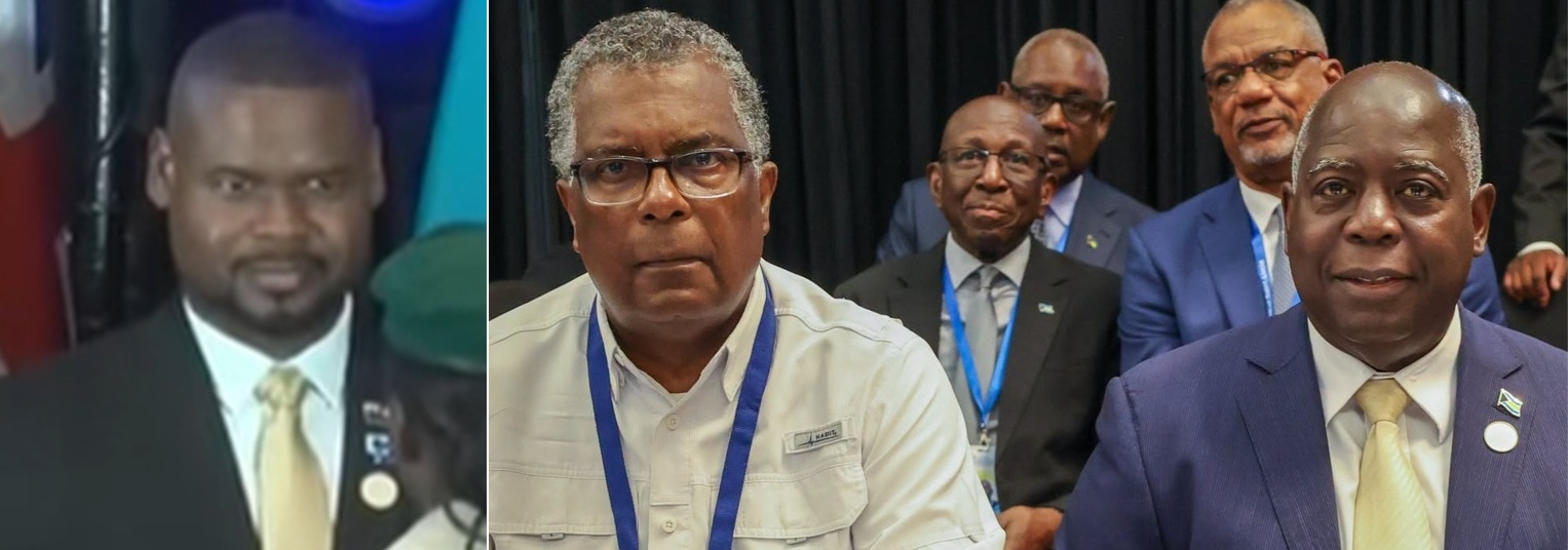
Cheaper shipping. Lower energy costs. Better access to healthcare. Stronger consumer protections.
Those are among the measures CARICOM Heads of Government believe could finally begin reducing the stubbornly high cost of living for millions of people across the Caribbean.
Meeting in Saint Lucia, regional leaders agreed that making life more affordable must become one of the Community’s highest priorities. Their emerging strategy includes reducing freight costs through a regional ferry service, accelerating renewable energy projects to lessen dependence on imported fuel, expanding regional healthcare partnerships, strengthening consumer protection, and encouraging governments to adopt successful cost-of-living measures already being implemented across the Caribbean.
“Our discussions over the past four days were guided by one central objective – ensuring that CARICOM delivers results that people can see and feel in their everyday lives,” CARICOM Chairman and Saint Lucia Prime Minister Philip J. Pierre said.
Few places may welcome that relief more than The Bahamas and the Turks and Caicos Islands.
Although inflation has moderated in both countries from the sharp increases experienced following the pandemic, the cost of living remains stubbornly high. Families continue to complain about grocery bills that stretch household budgets, rising housing costs, expensive electricity, healthcare expenses and fuel prices that remain among the highest in the region.
Governments have responded.
In The Bahamas, successive reductions in Value Added Tax on selected goods and other targeted tax measures have sought to ease pressure on consumers. In the Turks and Caicos Islands, the Government this weekend opens applications for its $500 Cost of Living Relief Programme, acknowledging that many households continue to struggle despite the country’s economic success.
Yet affordability remains elusive.
The contradiction is difficult to ignore.
The Turks and Caicos Islands continues to post one of the region’s strongest tourism-driven economies, with robust investment, record visitor spending and sustained construction activity. The Bahamas has also strengthened its economic position, earning improved sovereign credit ratings as tourism, government revenues and fiscal performance continue to recover.
Yet those encouraging economic indicators have not translated into noticeably lower household expenses.
The reason is largely structural.
Both The Bahamas and the Turks and Caicos Islands produce relatively little of what they consume. Food, fuel, medicines, vehicles, building materials and countless household essentials are imported. Both countries also record significant trade deficits, illustrating their dependence on overseas suppliers. Every increase in global shipping costs, fuel prices or supply chain disruptions is eventually reflected in supermarket prices, utility bills and the cost of everyday living.
That is why CARICOM’s agenda matters.
If regional leaders succeed in lowering freight costs through an inter-island ferry network, expanding renewable energy, improving regional cargo movement, strengthening consumer protections and making healthcare more accessible through cooperation, the benefits could extend far beyond government balance sheets.
For Bahamians and Turks and Caicos Islanders, success will not be measured by another tourism record or another credit rating upgrade. It will be measured at the supermarket checkout, on the monthly electricity bill, at the gas pump and in the simple ability to afford a better quality of life.

By Deandrea Hamilton | Editor
NASSAU, Bahamas (July 14, 2026) — The Bahamas Government says it needs the 300 teachers being sourced from Ghana to help close a critical staffing gap, even as criticism mounts over unresolved employment matters reportedly affecting approximately 2,000 Bahamas Union of Teachers members and as Ghana itself struggles with a massive shortage in the profession.
Deputy Prime Minister and Minister of Education, Science and Technology Chester Cooper said the shortage has been worsened by retirements, expiring contracts and the expansion of specialized subjects, including special education, technology, financial literacy, digital literacy and entrepreneurship.
Cooper said the Government has established a multi-agency task force and is attempting to attract recently retired teachers, new graduates and educators who previously left the profession.
“In keeping with government policy, Bahamians will be given first priority to fill all vacancies,” Cooper said.
However, the optics surrounding the decision are sketchy at best, with the BUT pressing the Government to settle long-standing matters affecting its members while Ghana grapples with a teacher shortage estimated at no fewer than 50,000 educators.
Ghana’s Minister of Education, Haruna Iddrisu, recently disclosed that the country needs between 50,000 and 90,000 additional teachers to adequately staff its schools.
UNICEF’s 2026 Teachers for All: Ghana report confirms that Ghana is not only experiencing an overall teacher shortage but also serious inequalities in how available teachers are distributed. It found that rural and underserved schools are particularly affected, while Ghana’s primary teacher workforce fell by more than 25 percent—from 131,094 in 2019–2020 to 93,818 in 2022–2023—as student enrolment increased.
The report stated:
“Not only is there a teacher shortage in Ghana, but inefficiencies also exist in the current distribution of available teachers.”
That finding raises questions about why a country with such a significant domestic deficit is prepared to facilitate the overseas recruitment of hundreds of educators.
Meanwhile, BUT President Belinda Wilson has argued that the Bahamian Government has substantial unfinished business with the teachers already serving in the public system.
According to Wilson, approximately 2,000 educators are awaiting the conclusion of salary negotiations, while hundreds reportedly have unresolved matters involving confirmations, salary reassessments, promotions, rental allowances, examination marking fees, disturbance allowances, hardship payments and coaching allowances.
The union has also complained that it was not properly consulted before the proposed recruitment became public and has demanded details about the qualifications, subjects, deployment locations and employment conditions being considered for the Ghanaian teachers.
The debate is also unfolding as the University of The Bahamas has produced approximately 219 education graduates over the past three years—76 in 2024, more than 60 in 2025 and 73 in 2026.
Cooper maintains that overseas recruitment is intended only to fill positions that cannot immediately be occupied by qualified Bahamians.
“For decades, we have benefitted from strategic international recruitment of educators from partner nations,” he said. “We emphasize that such recruitment is intended only to address vacancies that cannot be immediately filled by qualified Bahamians.”
Still, the questions remain: why are outstanding matters affecting thousands of Bahamian teachers unresolved, and why is The Bahamas sourcing educators from a country that acknowledges it is tens of thousands of teachers short itself?


-

 Africa1 week ago
Bahamas’ Ghana Teacher Plan Draws Fire as Both Nations Face Shortages
-

 News1 week ago
Ministry of Health Welcomes Appointment of New NHIB Chief Executive Officer and Highlights Progress of Organisational Transformation
-
 News1 week ago
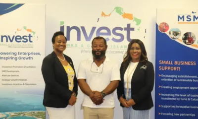
Invest TCI Supports Certification of Local Flats Fishing Guides Through MSME Technical Assistance Under Historic TCFFA–TCICC Partnership
-
 News1 week ago
Government Takes Case to Washington After U.S. Keeps TCI at Level 2
-

 News1 week ago
DDME’s Hurricane Hunt Scavenger Hunt Sparks Community Spirit and Storm Preparedness in Providenciales
-
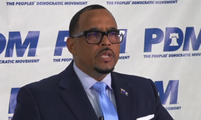
 News1 week ago
PDM Alleges Governor ‘Bias’, Opposes One-Year Extension
-

 Bahamas News1 week ago
What 45 Shell Casings and New Murder Charges May Mean for Three Officers in the Azario Major Case
-
 Bahamas News1 week ago
CARICOM Targets Affordability as Bahamas, TCI Continue to Feel the Pinch