
Caribbean News
NOAA Predicts Active 2025 Atlantic Hurricane Season: Warm Waters and Favorable Conditions Could Fuel Strong Storms

Washington, D.C. — Federal weather experts are forecasting an above-normal Atlantic hurricane season for 2025, with warm ocean temperatures and low wind shear among the key factors creating conditions ripe for storm formation.
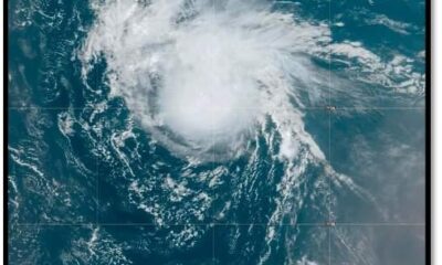
In its seasonal outlook released Wednesday, the National Oceanic and Atmospheric Administration (NOAA) predicted a 60% chance of an above-average hurricane season, a 30% chance of a near-normal season, and just a 10% chance of below-normal activity. The season officially runs from June 1 to November 30.
Forecasters anticipate between 13 to 19 named storms (with winds of 39 mph or higher), of which 6 to 10 could become hurricanes. Up to 3 to 5 are expected to reach major hurricane status—Category 3 or higher—with winds of at least 111 mph. NOAA says it has 70% confidence in these projections.
“This year’s outlook should serve as a call to action,” said Ken Graham, Director of NOAA’s National Weather Service. “We urge everyone to prepare now—before a storm is on the horizon.”
Favorable Climate Conditions for a Busy Season
Several climate patterns are converging to create a more active-than-usual season. Chief among them: warmer-than-average sea surface temperatures in the tropical Atlantic, which provide energy to fuel storm systems. Additionally, weaker upper-level winds and a potentially enhanced West African monsoon are expected to support more frequent and intense tropical waves—often the precursors to Atlantic hurricanes.
“This is the type of environment that allows storms to develop and intensify more easily,” explained Acting NOAA Administrator Laura Grimm. “We saw last year how hurricanes can cause destruction far inland, not just along the coast. Our mission is to help communities prepare and stay safe.”
Grimm noted that hurricanes Helene and Debby in 2024 brought significant inland flooding, underscoring the wide-ranging impact these storms can have.
Technology and Forecasting Upgrades for 2025
This hurricane season also marks the introduction of several upgrades to NOAA’s forecasting tools:
- The Hurricane Analysis and Forecast System is being enhanced to improve storm track and intensity predictions by another 5%, improving the accuracy of early warnings.
- For the first time, the National Hurricane Center (NHC) and Central Pacific Hurricane Center will be able to issue advisory products up to 72 hours in advance of expected storm surge or tropical-storm-force winds—giving communities more time to prepare.
- The Global Tropical Hazards Outlook, which forecasts tropical cyclone risks, now extends its range from two to three weeks ahead, giving emergency planners more lead time.
Stronger Public Communication and Spanish-Language Services
In an effort to reach more communities, the NHC will expand its Spanish-language products for the 2025 season. These include advisories, updates, discussions, and key messages designed to keep Spanish-speaking populations better informed.
Also returning this year is the experimental version of the forecast cone graphic, which now highlights inland tropical storm and hurricane watches and warnings, and identifies areas where hurricane watches and tropical storm warnings are active simultaneously.
In coastal areas, a new rip current risk map will be available when an active tropical system is present, based on data from local weather offices.
New Radar Tech and Flood Forecasting Tools
For the 2025 season, NOAA is introducing ROARS, an experimental electronically scanning radar system aboard its P-3 hurricane hunter aircraft. The technology will allow scientists to gather new data on wind patterns and ocean wave behavior underneath developing storms.
Meanwhile, the Weather Prediction Center’s Probabilistic Precipitation Portal, a user-friendly forecasting tool for rainfall and flooding, will offer three-day outlooks—a critical resource after Hurricane Helene dropped over 30 inches of rain in parts of North Carolina last year.
Be Ready, Not Caught Off Guard
Commerce Secretary Howard Lutnick said that NOAA’s investments in research and forecasting models are improving preparedness nationwide. “With these tools, we’ve never been more equipped to face a hurricane season,” he said.
While NOAA’s forecast speaks to overall activity and not where or when storms may strike, the agency urges all residents in hurricane-prone areas to review emergency plans, gather supplies, and stay alert throughout the season.
An updated outlook will be issued in early August, ahead of the historical peak of Atlantic hurricane activity.


Caribbean News
Pres Ali declares three days of national mourning following MV Barima tragedy July 21, 2026
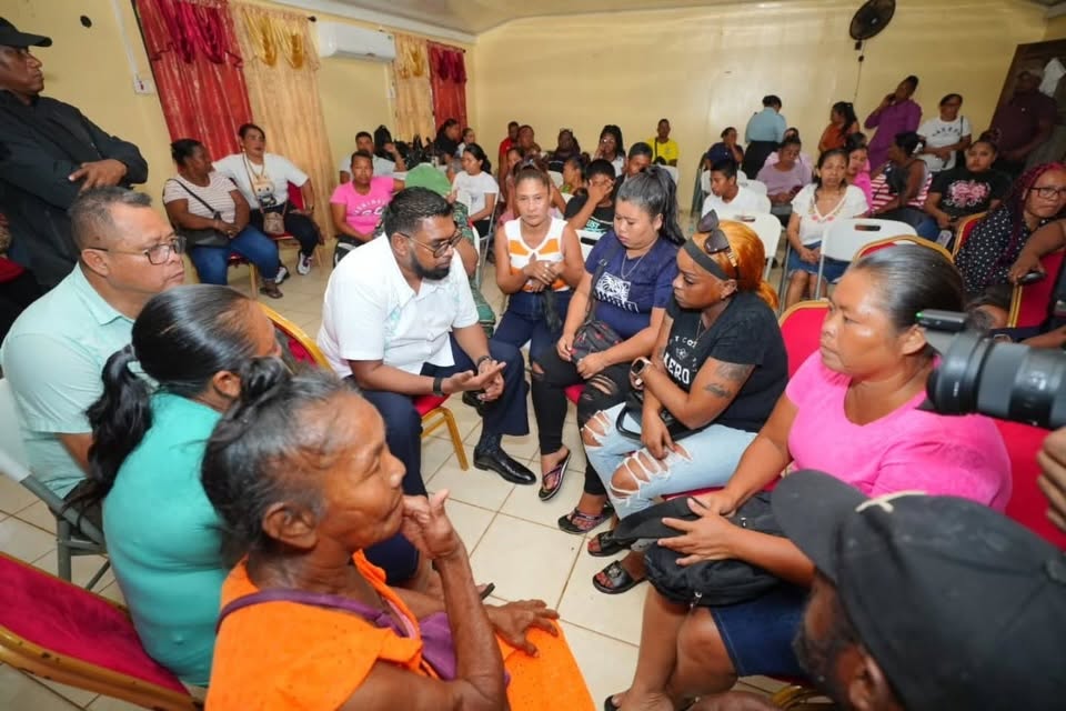
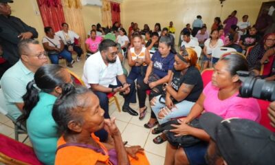
His Excellency Dr Mohamed Irfaan Ali has declared three days of national mourning following the tragic loss of lives in the M.V. Barima incident, as the nation continues to grieve alongside the families and communities affected.
The period of national mourning will be observed from Wednesday, July 22, through Friday, July 24, 2026, in honour of the victims of the tragedy. During this time, the National Flag will be flown at half-mast on all Government buildings and other appropriate locations across the country.
As part of the observances, Wednesday, July 22, has been designated a National Day of Prayer. A National Day of Prayer and Remembrance will be held at the Kingston Seawall in Georgetown, bringing together citizens in solidarity to honour the lives lost and offer support to grieving families.
The programme of remembrance will continue with a Night of Reflection and Prayer in Port Kaituma on Thursday, July 23, followed by another observance in Mabaruma on Friday, July 24.
The government is also encouraging religious organisations, civic groups and citizens throughout Guyana to organise candlelight vigils and moments of prayer during the three days as the nation collectively reflects on the tragedy and pays tribute to the victims. The declaration of national mourning underscores the government’s commitment to standing with the bereaved families and affected communities as Guyana mourns one of the country’s most heartbreaking maritime tragedies.

By Deandrea Hamilton
Cheaper shipping. Lower energy costs. Better access to healthcare. Stronger consumer protections.
Those are among the measures CARICOM Heads of Government believe could finally begin reducing the stubbornly high cost of living for millions of people across the Caribbean.
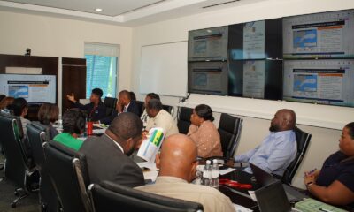
Meeting in Saint Lucia, regional leaders agreed that making life more affordable must become one of the Community’s highest priorities. Their emerging strategy includes reducing freight costs through a regional ferry service, accelerating renewable energy projects to lessen dependence on imported fuel, expanding regional healthcare partnerships, strengthening consumer protection, and encouraging governments to adopt successful cost-of-living measures already being implemented across the Caribbean.
“Our discussions over the past four days were guided by one central objective – ensuring that CARICOM delivers results that people can see and feel in their everyday lives,” CARICOM Chairman and Saint Lucia Prime Minister Philip J. Pierre said.
Few places may welcome that relief more than The Bahamas and the Turks and Caicos Islands.
Although inflation has moderated in both countries from the sharp increases experienced following the pandemic, the cost of living remains stubbornly high. Families continue to complain about grocery bills that stretch household budgets, rising housing costs, expensive electricity, healthcare expenses and fuel prices that remain among the highest in the region.
Governments have responded.
In The Bahamas, successive reductions in Value Added Tax on selected goods and other targeted tax measures have sought to ease pressure on consumers. In the Turks and Caicos Islands, the Government this weekend opens applications for its $500 Cost of Living Relief Programme, acknowledging that many households continue to struggle despite the country’s economic success.
Yet affordability remains elusive.
The contradiction is difficult to ignore.
The Turks and Caicos Islands continues to post one of the region’s strongest tourism-driven economies, with robust investment, record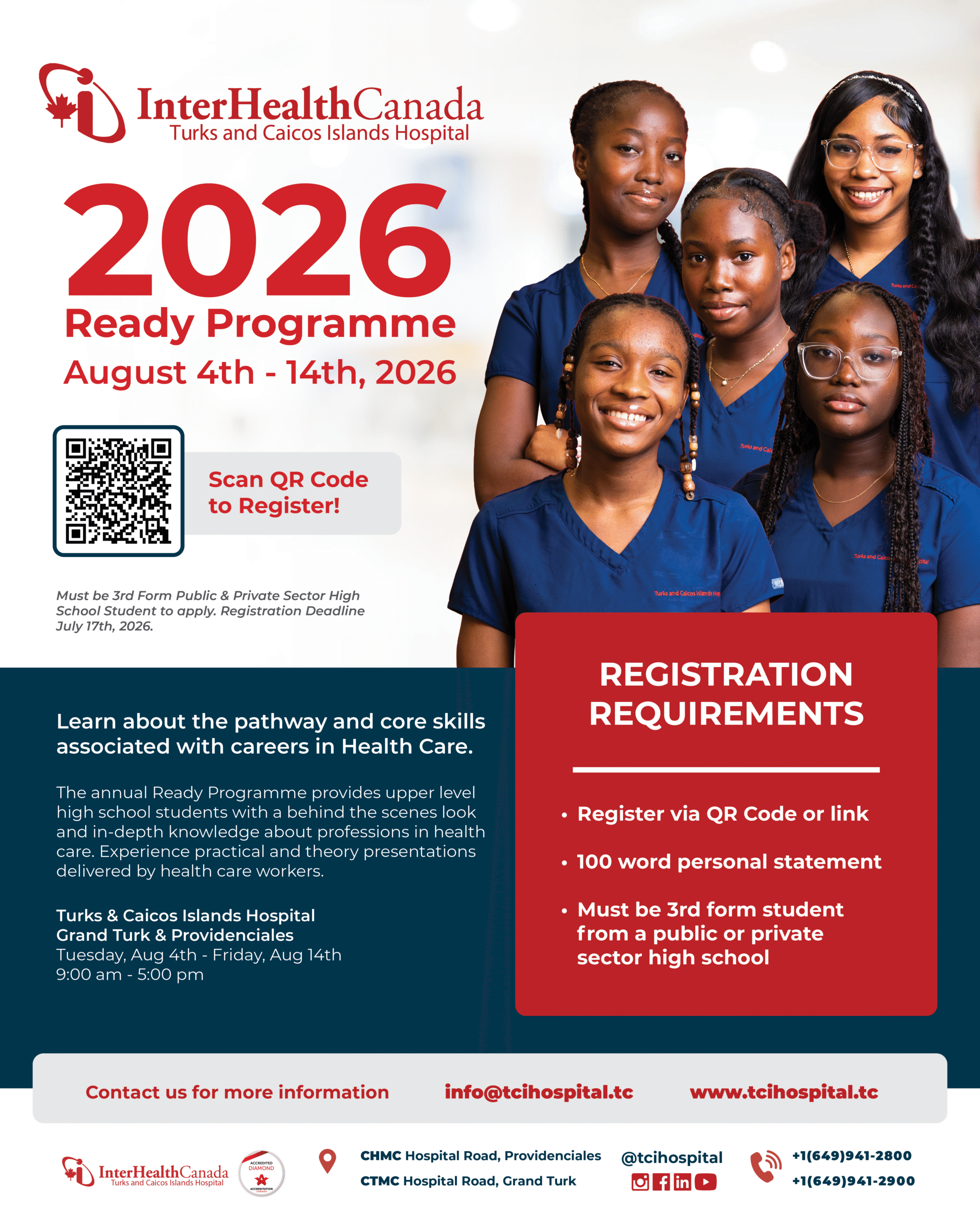 visitor spending and sustained construction activity. The Bahamas has also strengthened its economic position, earning improved sovereign credit ratings as tourism, government revenues and fiscal performance continue to recover.
Yet those encouraging economic indicators have not translated into noticeably lower household expenses.
The reason is largely structural.
Both The Bahamas and the Turks and Caicos Islands produce relatively little of what they consume. Food, fuel, medicines, vehicles, building materials and countless household essentials are imported. Both countries also record significant trade deficits, illustrating their dependence on overseas suppliers. Every increase in global shipping costs, fuel prices or supply chain disruptions is eventually reflected in supermarket prices, utility bills and the cost of everyday living.
That is why CARICOM’s agenda matters.
If regional leaders succeed in lowering freight costs through an inter-island ferry network, expanding renewable energy, improving regional cargo movement, strengthening consumer protections and making healthcare more accessible through cooperation, the benefits could extend far beyond government balance sheets.
For Bahamians and Turks and Caicos Islanders, success will not be measured by another tourism record or another credit rating upgrade. It will be measured at the supermarket checkout, on the monthly electricity bill, at the gas pump and in the simple ability to afford a better quality of life.
Caribbean News
From Pathways to Investment: Tackling the US $6 Billion Food Challenge for the Caribbean
By Kenroy Roach
The Caribbean’s food systems challenge is fast evolving into a broader development challenge.
Despite decades of policy attention and investment, the region remains one of the most food import-dependent in the world, spending over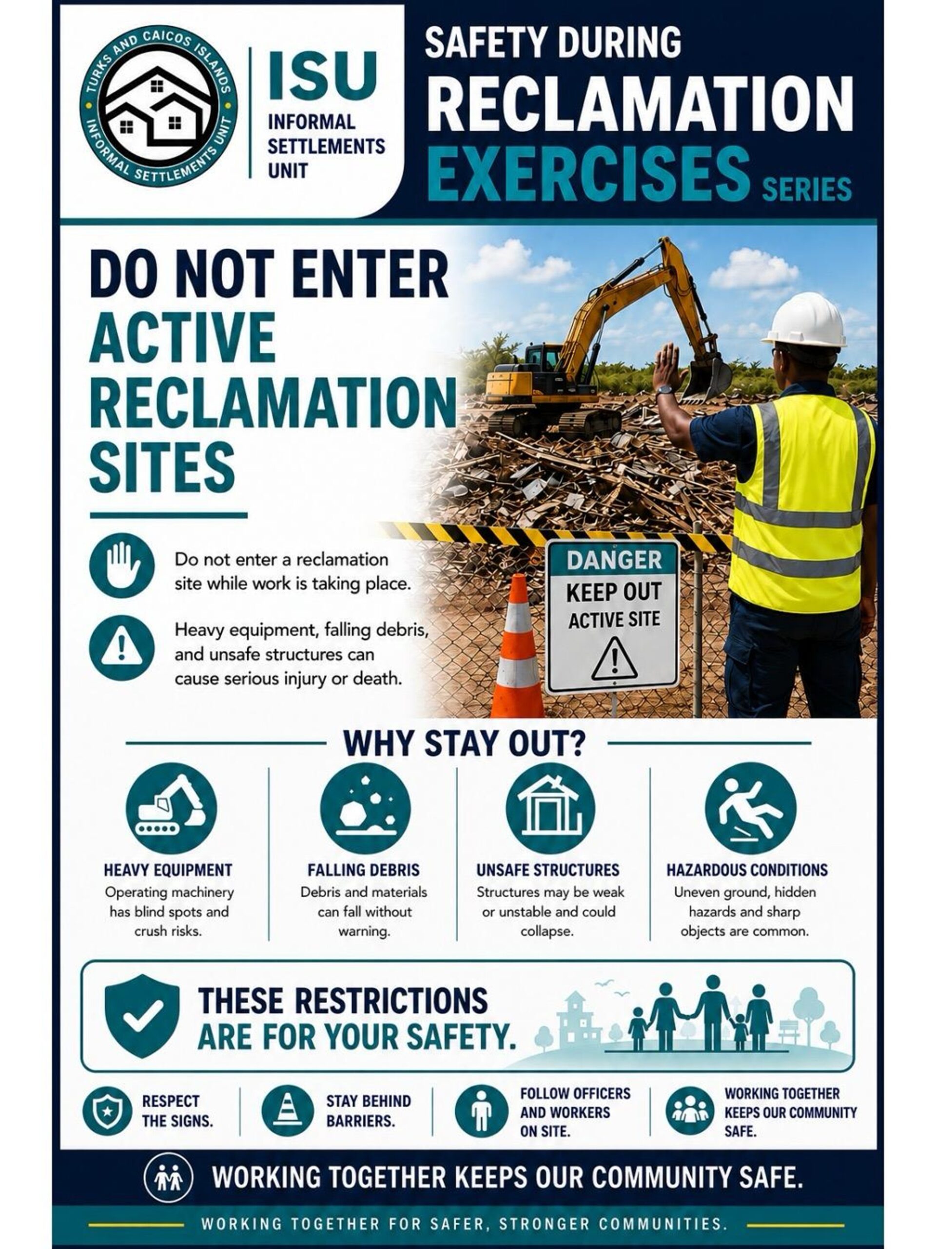 US$6 billion annually. At the same time, countries continue to grapple with food insecurity, high rates of diet-related non-communicable diseases, climate vulnerability, and exposure to external shocks that can disrupt supply chains and drive up food prices almost overnight.
For Small Island Developing States (SIDS), food security has shifted from an agriculture focus alone, it’s about economic resilience, health, climate resilience and sustainable growth.
Recognizing this reality, Caribbean governments have elevated food systems transformation as a regional priority through the CARICOM 25 x 25 Plus Five Agenda, which seeks to reduce food import dependence while strengthening domestic production, regional trade, and resilience. Across Barbados and the Eastern Caribbean, governments have also developed National Food Systems Pathways that identify the investments, partnerships, and policy reforms needed to transform food systems and accelerate progress toward the Sustainable Development Goals (SDGs).
Yet one challenge has remained persistent: financing.
In the face of high levels of public debt and limited fiscal space, while public investment remains critical, Caribbean governments simply cannot shoulder the financing burden alone. Transforming food systems at scale requires mobilizing far greater private capital, alongside development finance and public resources.
This was the rationale behind the recent convened in Barbados.
The Forum brought together governments, investors, international financial institutions, private sector leaders, regional organizations, and the United Nations around a simple proposition: food systems should be viewed not only as a development priority, but also as an investable asset class.
A distinguishing feature of the innovative gathering was its focus on attracting private investment—particularly private equity, impact investment, and blended finance solutions capable of supporting businesses and infrastructure across food value chains. By helping enterprises access growth capital and connecting investors with scalable opportunities, the initiative sought to unlock financing that complements public investment rather than adding to already constrained public balance sheets.
A key outcome was the launch of a regional Deal Book comprising approximately US$320 million in investment opportunities across seven countries, spanning agriculture, fisheries, agro-processing, logistics, and strategic food systems infrastructure. The Deal Book created a practical bridge between capital seeking opportunities and opportunities seeking capital, while enabling direct engagement between governments, enterprises, and investors.
The results were encouraging.
Across four sector-focused deal rooms, participants explored investment-ready and near-investment-ready opportunities and discussed blended finance private equity, risk-sharing, and partnerships to advance projects toward implementation.
The Forum highlighted a shift in perspective: food systems are now seen as strategic drivers of economic diversification, resilience, competitiveness, and growth. Investments across production, processing, logistics, and distribution can strengthen regional supply chains, create new businesses, generate jobs, and reduce vulnerability to external shocks.
For the United Nations, this experience reinforced an important lesson.
Transforming food systems requires more than the technical expertise of individual agencies. It requires integrated solutions that connect agriculture, nutrition, health, climate resilience, trade, private sector development, and financing.
This is where the Resident Coordinator System plays a critical role.
Across Barbados and the Eastern Caribbean, the Resident Coordinator Office has united UN system capabilities around a common food systems agenda. Working with FAO, WFP, the UN Food Systems Coordination Hub, and other partners, the RCO has helped align policy support, technical expertise, partnerships, and financing with nationally identified priorities.
The Forum demonstrated this integrated approach by convening governments, investors, development finance institutions, private sector actors, and UN agencies around a common objective. It showcased the UN’s comparative advantage as a trusted broker capable of connecting development priorities with investment opportunities.
The Forum’s success will be measured not by dialogue generated, but by investments mobilized, businesses expanded, and progress made toward resilient, competitive Caribbean food systems across the Caribbean.
Its most important outcome may therefore be what comes next.
The work starts now.
Kenroy Roach is Head of the UN Resident Coordinator Office for Barbados and the Eastern Caribbean


-

 Education5 days ago
Turks and Caicos Islands Students Excel at Cycle 13 WizdomCRM Regional AI Game National Awards Ceremony
-
 News1 week ago
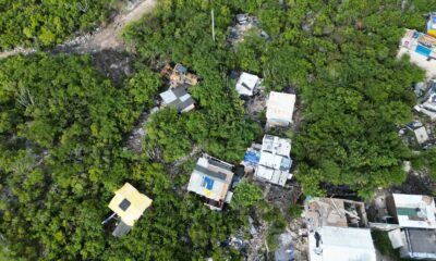
Six Unauthorised Structures Demolished During Multi-Agency Planning Enforcement Operation
-
 Caribbean News6 days ago
Pres Ali declares three days of national mourning following MV Barima tragedy July 21, 2026
-

 News6 days ago
ANDY BURNHAM, NEW UK PM’S FIRST ORDER: LOWER THE COST OF LIVING
-

 Government5 days ago
Parnell Urges Premier to Step Aside, Proposes Bipartisan Board to Guide Healthcare Transition
-

 Government4 days ago
Government Outlines New Healthcare Vision as Interhealth Exit Accelerates Reform
-
 News4 days ago
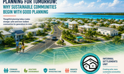
Planning for Tomorrow: Why Sustainable Communities Begin with Good Planning
-
 Bahamas News4 days ago
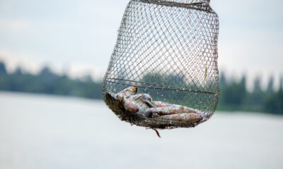
Caught in the Net, Not Accused of Wrongdoing