
Bahamas News
MARIA BECOMES A HURRICANE


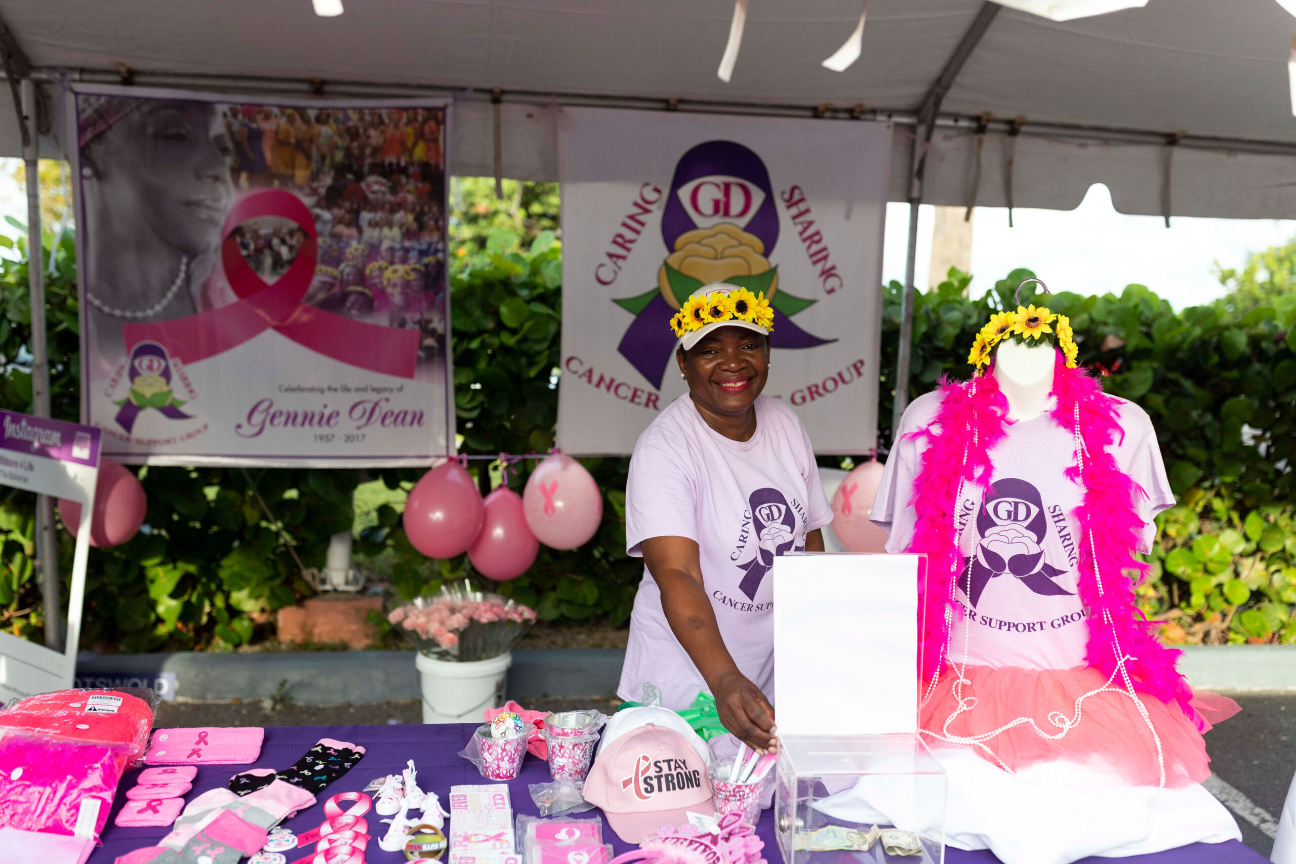
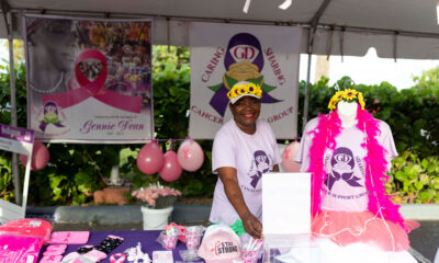
Nassau, Bahamas, 1 October 2026 – Every Saturday this month, communities across The Bahamas will take steps in support of cancer patients and survivors as CIBC Caribbean’s Walk for the Cure returns to New Providence, Abaco, Eleuthera, and Grand Bahama.
CIBC Caribbean Head of Country, Terrance Gibson, said, “Each Saturday in October represents another community coming together,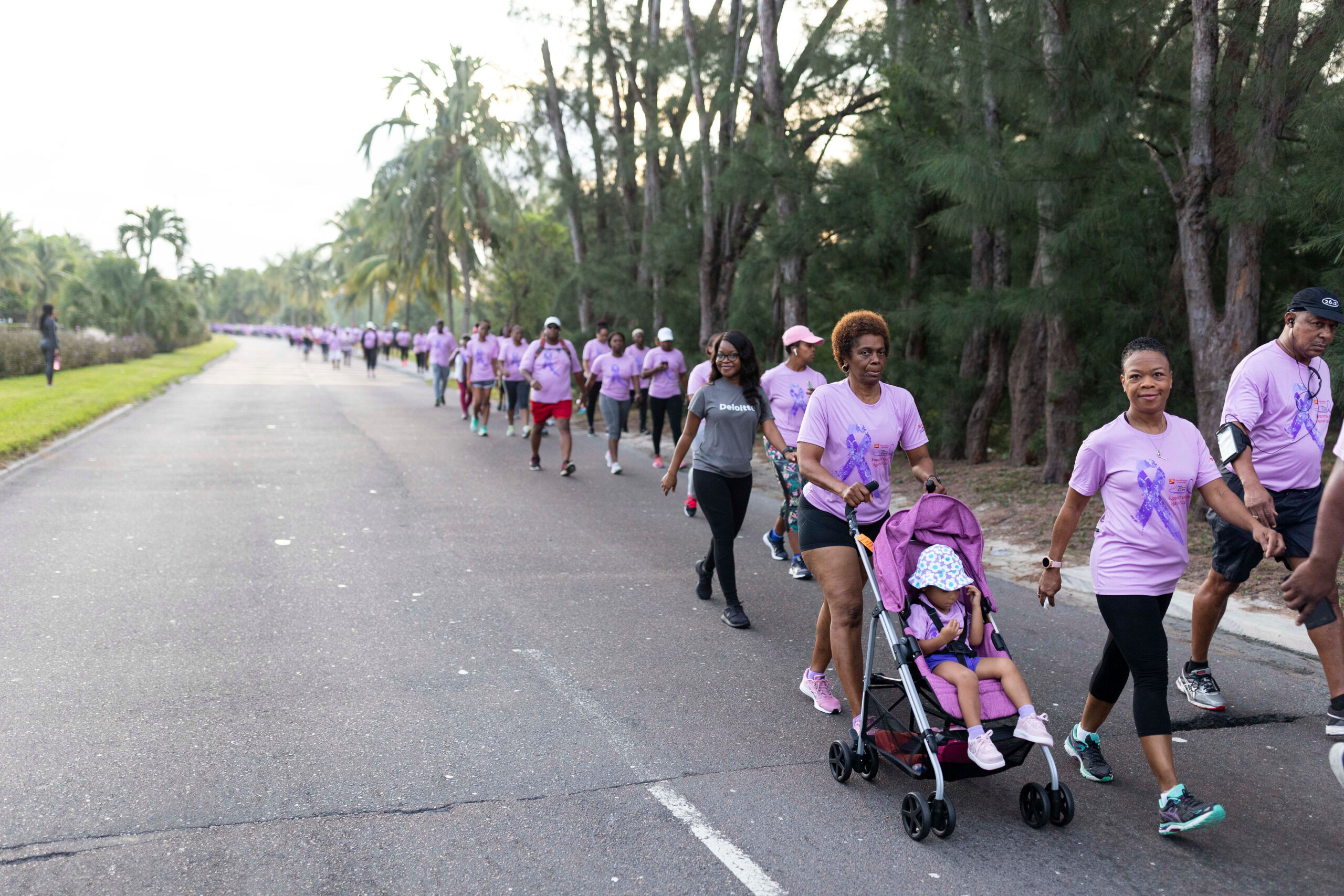 another opportunity to raise awareness and, most importantly, more support for the organizations that are doing this work every day.”
The month of activities begins this Saturday, October 3, in New Providence, with participants gathering at the Goodman’s Bay Corporate Centre for a 6:30am start.
CIBC Caribbean Walk Champion, Antionette Fox, said the series of walks gives communities across the country an opportunity to contribute to a cause that directly supports Bahamian cancer organizations.
“Every Saturday for the month of October, there will be a walk that you can participate in to contribute towards this worthy cause,” Fox said.
In New Providence, the morning will extend beyond the walk itself, with Zumba, wellness activities, informational vendors, and opportunities for participants to connect with organizations working directly with cancer patients and survivors.
Gennie Dean Caring and Sharing Cancer Support Group President Duquesa Dean said participants do not have to complete the full route to be part of the morning.
“Just come out…there is something for everyone, come for the community,” Dean said. “There’s a survivor ceremony, so come and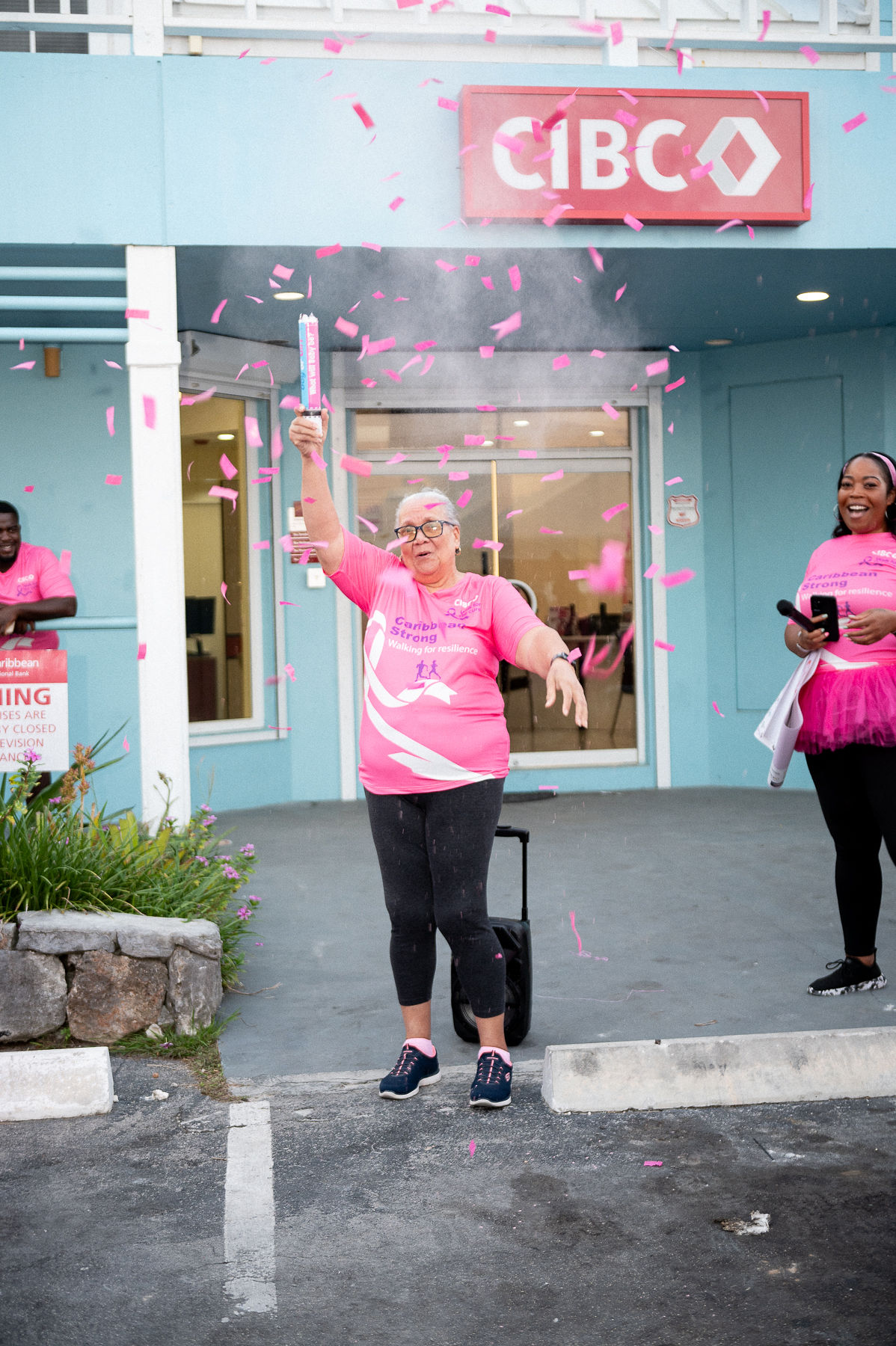 participate and celebrate the people who have gone through cancer and are here as evidence that you could live after a cancer diagnosis.”
The Gennie Dean Caring and Sharing Cancer Support Group is one of eight cancer organizations in The Bahamas that benefit from funds raised through Walk for the Cure. The others are the Sister Sister Breast Cancer Support Groups of New Providence and Grand Bahama, Cancer Society of The Bahamas, the Cancer Societies of Abaco, Eleuthera, and Grand Bahama, and the Cancer Association of Grand Bahama.
Dean explained that CIBC Caribbean covers the cost of staging WFTC, allowing donations raised to support the work of beneficiary organizations.
For her organization, that assistance translates into tangible support for people navigating cancer, including food assistance, financial aid, prosthetic breasts, and mastectomy bras, as well as programs such as Step Into Wellness, which promotes movement and healthy living among cancer patients and survivors.
Corporate partners are also helping to strengthen this year’s effort. Bamboo Shack has joined the initiative as a gold sponsor, with representative Ghandi Pinder sharing that the cause has a personal significance for her.
Pinder recalled shaving her hair in solidarity with her sister after she was diagnosed with an aggressive form of breast cancer and began losing her hair during chemotherapy.
“We see you, we’re here with you, we’re in it with you,” Pinder said of Bamboo Shack’s message to those affected by cancer.
She also encouraged more of Corporate Bahamas to support initiatives that directly impact the communities they serve.
“At Bamboo Shack, we always say a better Bahamas begins with you… Together, we can make a difference,” she said.
Registration for Walk for the Cure is $30 for adults and $15 for children and can be completed at any CIBC Caribbean branch. CIBC Caribbean clients can also donate through online banking.
The New Providence Walk begins promptly at 6:30am on Saturday, October 3, at the Goodman’s Bay Corporate Centre, followed by Walk for the Cure events in other islands each Saturday throughout October. The Grand Bahama WFTC event will be held on October 10 and the Abaco and Eleuthera WFTC events will occur on October 17 and October 24 respectively.
Gibson added, “Some will walk for themselves, some in celebration of a survivor, and others in memory of someone they have lost. Whatever brings you to Walk for the Cure, every person who shows up becomes part of a much bigger expression of support for those affected by cancer.”
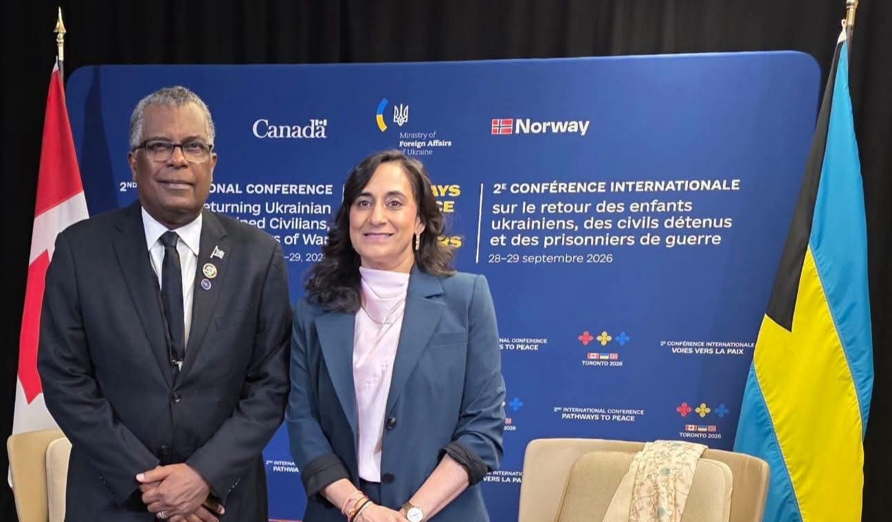
TORONTO, Canada —Minister of Foreign Affairs and Immigration Fred Mitchell has reaffirmed The Bahamas’ support for Ukraine’s territorial integrity and the international effort to secure the return of Ukrainian children, detained civilians and prisoners of war.
Speaking at the two-day Second International Conference on Returning Ukrainian Children, Detained Civilians, and Prisoners of War, held in Toronto on September 28 and 29, Minister Mitchell thanked Canada, Norway and Ukraine for convening the conference and said The Bahamas was honoured to participate.
“I first want to add my thanks to Canada, Norway and Ukraine for convening this important conference,” Minister Mitchell said. “We are honoured to have been invited and to be here.”
Minister Mitchell said The Bahamas supported the position expressed by Antigua and Barbuda from the CARICOM Region, while also drawing on remarks delivered by Prime Minister Philip Davis at them United Nations.
He said The Bahamas’ own history made it impossible for the country to remain silent when them territorial integrity of another state is under attack.
“Just a couple of days ago, our Prime Minister spoke at the United Nations about a people with a history of struggle for identity, arising out of the struggle against slavery, and how we cannot be silent in the face of the attack on the territorial integrity of another state,” Minister Mitchell said.
He noted that Canada and other countries have stood alongside Caribbean nations as they confront their own regional challenges, including the situation in Haiti and difficulties facing Cuba.
“We are a region which is far away from Ukraine, but we identify with the struggle,” he said. “In this case, we want to be sure that our voices are heard in support of the defence of the territorial integrity and the people of Ukraine.”
Minister Mitchell said the principle of territorial integrity carries lessons well beyond the current conflict and deserves particular attention from smaller states.
“We think that the question of territorial integrity is a lesson for all to inwardly digest,” he said, adding that The Bahamas particularly appreciated Canada’s approach to its role as a “middle power” in international affairs.
The minister also reflected on the broader historical context surrounding Russia and Ukraine. Referring to a recent interview with Russian President Vladimir Putin that he encountered on social media, Mitchell described the discussion as an example of historical revisionism.
He recalled the days of writings and experiences of Soviet-era dissidents including Aleksandr Solzhenitsyn and Andrei Sakharov, as well as the struggles that took place during the Soviet period and the eventual collapse of the Soviet Union.
Minister Mitchell said the historical interpretation presented in Putin’s remarks offered a markedly different account of those developments and placed responsibility for the situation in Ukraine on what Putin described as Western intellectual elites and their actions.
“That was very interesting,” he noted.
Drawing on the work of political scientist Samuel Huntington, Minister Mitchell suggested that political systems can retain characteristics of their predecessors even after major upheavals or revolutions.
“The Czar has been replaced, but what do we have today?” he asked. “A kind of pre-emptory, antidemocratic, autocratic behaviour attacking another state?”
Minister Mitchell concluded by reaffirming The Bahamas’ support for the objectives of the Toronto conference and calling for practical opportunities for the country to contribute.
“So I am, on behalf of The Bahamas, supporting the aims of this important conference,” he said. “Please assure us, or let us know, what practical ways we can help.”
He said The Bahamas’ participation itself was an important first step.
“We hope that, in this instance, the fact that we are here and that our voice has been added to this cause is at least a good start.”
Bahamas News
‘Even Nygard didn’t try that’ – Supreme Court hears massive 400-foot seawall was added to Rosewod Exuma behind the public’s back
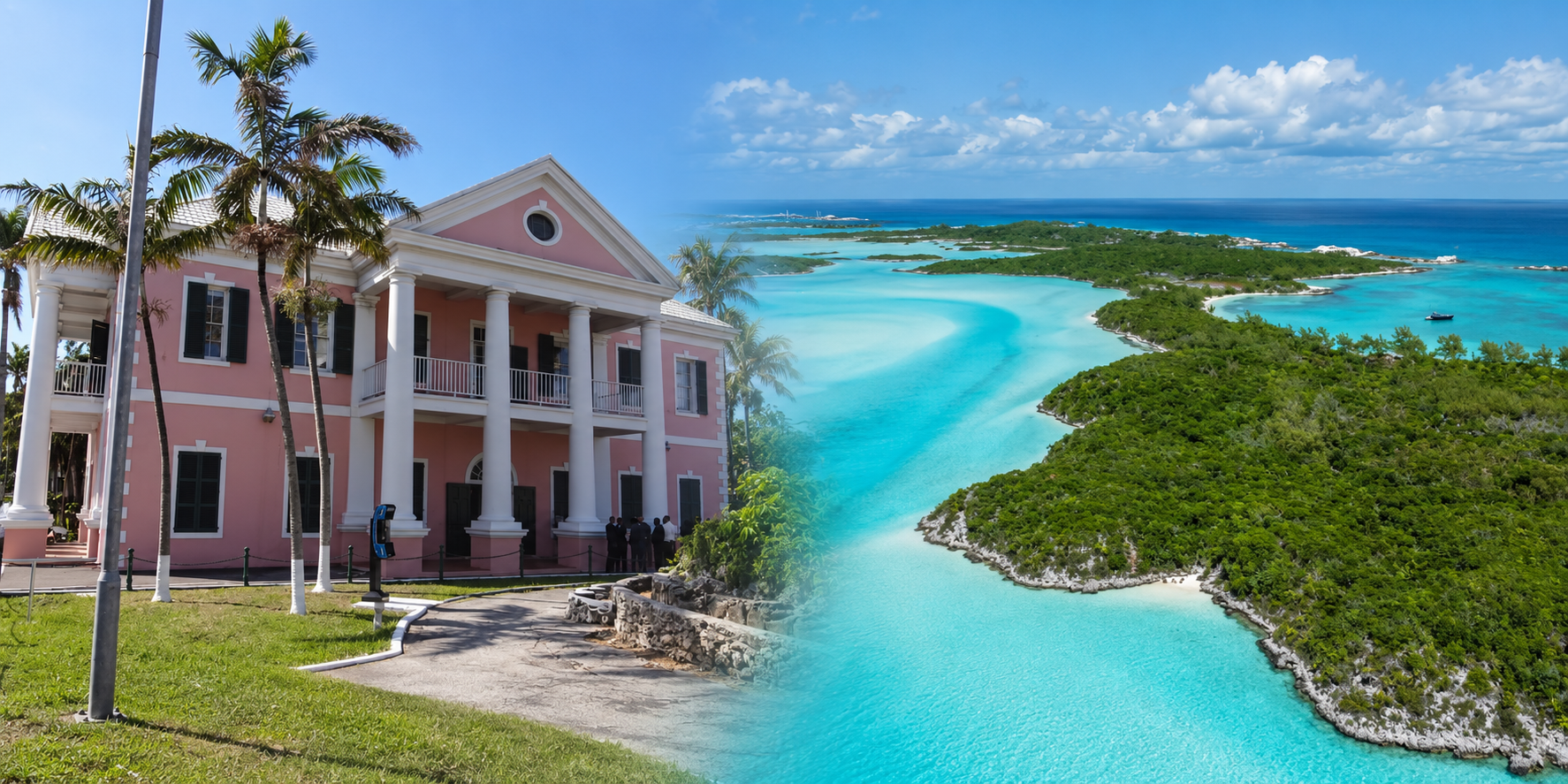
The Bahamas, September 28, 2026 – A seawall nearly 400 feet long was added to Yntegra’s East Sampson Cay plans after public consultation had closed, the Supreme Court heard today. Fred Smith, KC, told the court it was a structure so large that “even Nygard never tried to do that.”
Mr Smith, appearing for Turtlegrass, said the breakwater for the Rosewood Exuma development’s service dock in North Bay grew to 390 feet long. It would be roughly 40 feet wide and seven or eight feet tall, built into what he called a pristine and environmentally sensitive area. None of this was ever put to the public.
“You have to conceive 400 feet of jetty,” he said to the judge. “Even Nygard never tried to do that.”
Mr Smith was referring to disgraced developer Peter Nygard’s Clifton Bay home, which illegally more than doubled in size, from roughly 2.6 acres to over six. Nygard is presently in prison in Canada having been later sentenced to 11 years in prison for sexual assault charges and is awaiting further charges in the US.
“This is a massive structure. It’s not a little seawall,” Mr Smith said of the breakwater. “It will affect the movement of the currents. It will affect the movement of the sand. It will have a dramatic impact.”
He warned that shifting sand could damage coral and seagrass, and could either starve the neighbouring beaches of sand or leave the water stagnant. That would threaten Over Yonder Cay’s existing business and the beaches on which Turtlegrass depends.
The government argued that changes to a project are a sign that consultation is working, and that requiring a fresh process for every change would be unworkable. Mr Smith called this “a straw man.” Turtlegrass’s case is not that every change requires new consultation, he said, but that these changes were so significant that fairness demanded it.
He said the changes did not emerge from the consultation at all. Turtlegrass had objected to any service dock in North Bay. Moving it further northeast with a longer seawall was “a new proposal with new and worse effects on the North Bay.”
“No consultee asked for a seawall to be relocated and a massively extended one, in length to about 400 feet, in the North Bay,” he said.
He added that a dredging plan the Department of Environmental Planning and Protection (DEPP) requested in May 2025 was “new information on a central issue that had not been available to anyone during consultation.”
Mr Smith told the court the developers had a drawing of a longer dock, dated June 18, 2024, before the first version of the environmental impact assessment (EIA) was published in July 2024. That design was never included in the EIA or shown to the public.
“The developers hid their intention of having a much longer dock,” he said. There was “absolutely no good explanation” for why the drawing existed before consultation but was never disclosed.
Mr Smith also said that when consultation opened in September 2024, the Director had already granted CEC 2400, which covered the service dock. “Both developers and director thought that the CEC for the service dock was in the bag,” he said.
The flushing report and architectural design later submitted for the dock both related to its original location, close to Turtlegrass’s beach.
Then, on January 29, 2025, after consultation had closed, the developers proposed moving the dock almost to the tip of the entrance to North Bay, extending much further into the water. The Director accepted it the next day.
Mr Smith said the documents put before the Director contained multiple, inconsistent breakwater designs, ranging from 100 feet to 247, 290, 390 and 400 feet.
“What did the Director of Environmental Planning and Protection approve by her CEC 2894?” he asked. “Which dock design? Which breakwater design? Which length was approved? Which location was finally approved? Your Lordship will not be able to find an answer to that in the documents.”
He said the Director required no new environmental analysis after the move. She had required a flushing study at the original location but did not ask for one at the new site, nor any study of the bay’s currents. The second version of the EIA simply reused the original modelling, even though the new site had different tides, seabed and coastal conditions.
The only new study was a marine habitat survey based on a single site visit in March 2025, long after consultation closed. Mr Smith said it contained 13 pages of photographs that “established absolutely nothing.”
“They do not come close to amounting to a scientific survey,” he said. The survey did not even identify where the new dock or breakwater would be, let alone assess their effects.
Mr Smith described the developer’s only analysis of an alternative site for the dock, on the south of the island, as “a shocking document.”
The report, prepared by the developer’s consultants, rejected the southern location because it “conflicts with the luxury-focused super yacht berthing program and the residential aesthetics central to the master plan’s high-end appeal.” It concluded that the North Bay site would best preserve Sampson Cay’s “unique identity as a high-end destination.”
“So they’re going to sacrifice the entire North Bay ecosystem for the pleasure of the yachting viewing at the southern tip of East Sampson Cay,” Mr Smith said.
He said the report contained no assessment of environmental impacts, leaving “simply no basis” for the Director to make a rational decision on whether to move the dock.
He added that DEPP had relied on that report instead of commissioning its own experts. “The Braun report was not credible. It is the report of the developer,” he said.
The Director’s affidavit says no further consultation was needed because objections to the relocated dock came “almost singularly” from Turtlegrass. Mr Smith said this was wrong in law. The number of objectors is irrelevant, he argued; what matters is whether the environmental impacts changed, and they had.
He said the duty to consult extended to Over Yonder Cay, everyone who attended the public meeting or made submissions, all users of North Bay, anyone concerned with the environment of the Exumas, and “future generations, expressly required to be considered under the regulations.”
The government argued that Turtlegrass “participated eminently meaningfully” in the process by attending meetings, writing letters and submitting expert reports. Mr Smith said participation does not prove the consultation was adequate.
“A person may participate extensively while still being denied information necessary for fully informed and meaningful participation,” he said.
He noted that the public consultation report was full of complaints from consultees that they lacked information. The developers repeatedly responded that the details would come in the environmental management plan (EMP). Yet the EMP was only published on the developer’s website between July 18 and 22, 2025, after the approval had been granted.
“How is the consultee supposed to know what the effect of a development will be if they do not know what the development proposes to mitigate the effects of?” he asked.
He rejected the argument that “everybody knew” the dock would be in North Bay. “Well, so what?” he said. Knowing it would be somewhere in the bay was not the same as knowing its location, length, design or effects. He noted that counsel for the developer had accepted the EIA did not “clearly set out all the details” of the service dock.
Mr Smith also said the Director failed to publish the relevant documents on her own website, as the regulations require. Instead, she directed consultees to the developer’s website.
He rejected claims that Turtlegrass refused to engage. He said it wrote to the Government at least 10 times between August 2024 and July 2025. The one meeting it did not attend, on December 9, 2024, was proposed by the Deputy Prime Minister, not the Department, and its purpose was never explained. In January 2025, Turtlegrass confirmed in writing that it was willing to meet, but no meeting was arranged. Twelve days later, the dock was moved.
“Turtlegrass, as is OYC, is only interested in having an opportunity to be consulted on a proposed project which includes all of the appropriate and necessary detailed information, so that it can make sensible and informed contributions,” he said. “That is what the law requires. That is what fairness requires.”
“This is a matter of fairness. Full stop.”





-
 Bahamas News6 days ago
The Bahamas Reaffirms Support for Ukraine at International Conference in Toronto
-
 News1 week ago
Invest Turks and Caicos Islands Highlights Investment Growth and Workforce Opportunity at 5th Annual General Meeting
-
 News4 days ago
Invest Turks and Caicos Officially Opened Caya Hico Collective, Grand Turk MSME Storefront
-
 Bahamas News5 days ago
Walk for the Cure Every Saturday This October
-

 Health1 week ago
What To Eat and Drink When You Have the Flu
-
 Bahamas News1 week ago
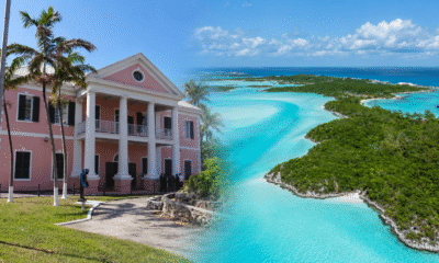
‘Even Nygard didn’t try that’ – Supreme Court hears massive 400-foot seawall was added to Rosewod Exuma behind the public’s back
-

 Health5 days ago
TCI Hospital Marks Breast Cancer Awareness Month 2026 with “Know. Check. Act. Support.” Campaign
-
 News7 days ago
Record-breaking eye care mission transforms vision for thousands in Providenciales