
Bahamas News
New ‘ReefShape’ Photogrammetry System Puts Bahamian Coral Reefs on the Map — Literally

Open-source workflow from Perry Institute for Marine Science researchers enables automated data processing, arming reef managers worldwide with rapid, easy-to-use solutions for large area imaging.
Media Contact:
Written by Lily Haines | PIMS | WhatsApp +1 (613) 791-6045 | lhaines@perryinstitute.org
June 17, 2025—NASSAU | Coral reefs cover less than one percent of the ocean floor yet anchor a quarter of all marine life. Protecting them has been the Perry Institute for Marine Science’s (PIMS) mission for more than 50 years—work that spans cutting-edge coral restoration, fisheries research and the Caribbean-wide Reef Rescue Network of coral nurseries.
Now PIMS scientists, working with Arizona State University, have unveiled ReefShape, an automated photogrammetry pipeline that converts thousands of underwater photographs into millimeter-accurate, 3-D and 2-D reef maps in hours instead of days. Their method, published this week in the Journal of Visualized Experiments (JoVE), gives managers from Abaco to Zanzibar a practical and streamlined way to track bleaching, storm damage and restoration success at the millimeter scale.
“We needed a method that’s easy to teach, automatic, and lets us focus on actually saving coral reefs rather than just making maps of them,” said lead author Will Greene, photogrammetry specialist and research scientist at PIMS.
The reef-mapping bottleneck
Photogrammetry—the digital alchemy that converts overlapping photos into lifelike 3D models—has transformed archaeology, forestry and even Hollywood. Yet under water it has remained a specialist’s sport: equipment can top US $20,000, and the software pipeline still relies on hours of manual clicks. In the meantime reefs around the world bleach, crumble or succumb to disease weeks before new data reach managers’ desks.
Headquartered in the United States, PIMS is a non-profit research organisation dedicated to ocean conservation and community engagement around the world. Through its flagship Reef Rescue Network—the region’s largest coalition of coral nurseries—PIMS has already planted tens of thousands of elkhorn, staghorn and fused staghorn corals throughout the Caribbean, restored critical reef habitat, and trained hundreds of local divers, students and tourism operators in reef-monitoring techniques. PIMS also leads research on sustainable fisheries, mangrove and seagrass restoration, and partners with governments to translate science into policy that safeguards coastal livelihoods.
Three simple upgrades
Turning big-picture conservation goals into on-the-ground action—and doing it fast enough to matter—meant re-engineering reef mapping for the realities of a dive boat. Instead of inventing another costly gadget, Greene’s team asked what the absolute essentials were and how to make each one fool-proof. The answer distilled into three simple upgrades that, together, turn a labour-intensive workflow into a backpack-friendly kit:
- Permanent corner markers. Four dinner-plate-sized markers drilled into the reef plot corners act as digital anchor points. Software recognises them automatically, snapping every future survey into perfect alignment.
- Phone-based GPS logging. A free Survey123 form guides divers to collect surface positions and depth readings of the markers, then formats the data for the processing script—no spreadsheets, transcribing coordinates, or typos.
A fully scripted pipeline. Custom Python code drives Agisoft Metashape processing through a graphic interface, whizzing through image alignment, mesh generation, orthomosaic building, data export and even structural-complexity metrics with no keyboard input beyond run.
From dive to desktop in 1 hour 58 minutes
Using the fully automated ReefShape script, a 200 square meter, 1,300-image reef plot can be processed in under 2 hours on a modern laptop—roughly 400 percent faster than the same dataset handled with earlier, semi-manual workflows. Even on 2018-era hardware, the scripted pipeline still shaved hours off turnaround because most of the speed-up comes from automation and careful workflow optimization, not brute processor power.
Stress-tested during a record heatwave ReefShape’s coming-of-age moment arrived during the record marine heatwave that washed over The Bahamas in August 2023. Having surveyed Simms Point Reef seven months earlier, the team returned with a camera and retraced their path above the permanent markers. Hours later, side-by-side mosaics revealed that over 90 percent of corals in several species had bleached completely, while a handful of colonies clung to colour.
“That immediate feedback lets us prioritise restoration sites and share data with partners before the next storm hits,” says Dr. Craig Dahlgren, PIMS executive director and co-author on the new paper. “It’s like switching from film to livestream.”
Democratizing a critical tool
Everything needed to utilize the workflow—recommended camera system, field equipment, a suitable computer and software—comes in around US $5,000 ($8,000 without educational software discounts). The scripts and step-by-step manual live for free on GitHub, and the authors encourage anyone mapping coral, seagrass, mangroves or shipwrecks to fork and improve the code.
The design is deliberately tolerant: while the protocol gives specific instructions for researchers wanting a cookbook-style approach, it works for plots from 25 m² to > 1,000 m², depths down to 30 m, any camera system and swim pattern with sufficient overlap, and on any recent computer. The ReefShape software includes adjustable controls to suit different data collection strategies and researcher needs while remaining streamlined and easy to use, automatically exporting data pre-formatted for analysis in free software packages like QGIS or TagLab.
Why it matters
Coral reefs occupy less than one per cent of the ocean floor yet shelter a quarter of marine speciesand buffer tropical coastlines from storms.

With mass-bleaching events now recurring every few years, conservationists need diagnostics that are fast, cheap and repeatable—tools that turn snapshots into time-lapse. ReefShape, its creators argue, is a step toward that future. “Our goal wasn’t another complex method,” says Greene, now completing a PhD at Arizona State University on GIS-driven 3-D reef mapping. “It was to hand every reef manager a simple, comprehensive monitoring tool, then get out of the way so they can use it.”
ReefShape was developed by Will Greene, Sam Marshall, Dr. Jiwei Li and Dr. Craig Dahlgren, with funding from the Disney Conservation Fund and the U.S. National Science Foundation. Fieldwork was conducted under permits from the Bahamas Department of Environmental Planning & Protection. Full documentation and code: https://github.com/Perry-Institute/ReefShape.
PHOTO CAPTION:
1st insert: Time-series aligned imagery of Simm’s Point Reef in New Providence before (left) and during (right) the 2023 mass bleaching event. The data were processed automatically in ReefShape, allowing researchers to rapidly analyze the extent and severity of the bleaching event (bottom panel), uncovering different patterns among the various coral species present.
3rd insert: The ReefShape field kit—ready for a single-tank survey. (A) Mirrorless camera with wide-angle rectilinear lens; (B) matching underwater housing and dome port; (C) Bluetooth-enabled “kickboard” GPS for surface positioning; (D) reusable coded corner markers that lock each plot to precise coordinates; and (E) coded scale bars that set the model’s exact dimensions.
Fly-through of a ReefShape 3D model of a coral reef: a centimetre-scale, colour-true reconstruction that lets scientists measure coral growth, bleaching and erosion without getting wet.


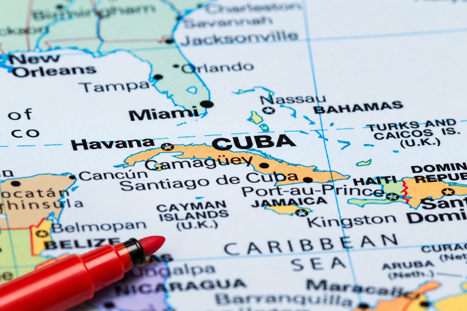
June 16, 2026 – Thirty-four years after formal negotiations began, Turks and Caicos Islands and The Bahamas are still working to define an agreed maritime boundary between the neighbouring archipelagos, a revelation emerging from a recent Turks and Caicos Cabinet summary which has brought renewed attention to a largely overlooked diplomatic and security issue.
A May 2026 Turks and Caicos Cabinet update suggests the long-running negotiations are continuing to advance. In August 2023, Bahamas Foreign Affairs Minister Fred Mitchell said efforts to draw an exact maritime boundary had been slowed by the challenge of gathering the mapping and locational data required for the exercise. The United Kingdom, which represents Turks and Caicos in the negotiations, has offered few details beyond confirming that both sides remain committed to maritime boundary delimitation talks.
The negotiations are not centred on a territorial dispute but rather on establishing a legally recognized maritime boundary under international law. Such agreements help determine jurisdiction over fisheries, maritime resources, law enforcement activities, environmental protection and migration control in the waters between neighbouring countries.
While the discussions focus on the boundary between The Bahamas and Turks and Caicos, the exercise is part of a wider maritime delimitation effort — the process of formally marking and agreeing upon where one country’s waters end and another’s begin. In comments to The Tribune in August 2023, Mitchell referenced similar boundary considerations involving the United States and Haiti, underscoring the broader regional importance of defining maritime jurisdictions in accordance with international law.
According to public statements from The Bahamas, formal negotiations between the two sides began in 1992 and were followed by technical discussions in 1996. After years of little public activity, talks resumed in 2023 and have continued through a series of engagements involving legal, maritime, security and geographic information specialists.
The importance of maritime boundaries was underscored by former Bahamas Foreign Affairs Minister Brent Symonette during maritime boundary discussions between The Bahamas and the United States in 2009. At the time, Symonette described clearly defined maritime borders as essential to national sovereignty, law enforcement, fisheries management, environmental protection and efforts to combat illegal migration. He also argued that agreed boundaries provide legal certainty and strengthen cooperation between neighbouring countries.
The United Kingdom, which represents Turks and Caicos in the negotiations, has offered few public details beyond confirming its commitment to the process. However, officials from the Foreign, Commonwealth and Development Office participated alongside TCI representatives during talks held in Nassau in August 2023. The Turks and Caicos delegation included then Permanent Secretary Wesley Clerveaux, whose responsibilities included Marine Affairs.
At this stage, the TCI Cabinet has only publicly identified the area under discussion as being south of “Point 1.” Information released by The Bahamas following a 2023 meeting indicates the negotiations concern waters between the southeastern Bahamas and the Turks and Caicos Islands. While no map has been made public, the available information places the discussions south of Bahamian islands including Mayaguana and Great Inagua. Exactly where the proposed boundary would meet the Turks and Caicos archipelago remains unclear from public records.
The latest Cabinet update offers no indication of when the negotiations may conclude. However, after more than three decades of intermittent discussions, recent references by both governments suggest efforts to finally draw the line between the two jurisdictions are continuing.
By Deandrea Hamilton
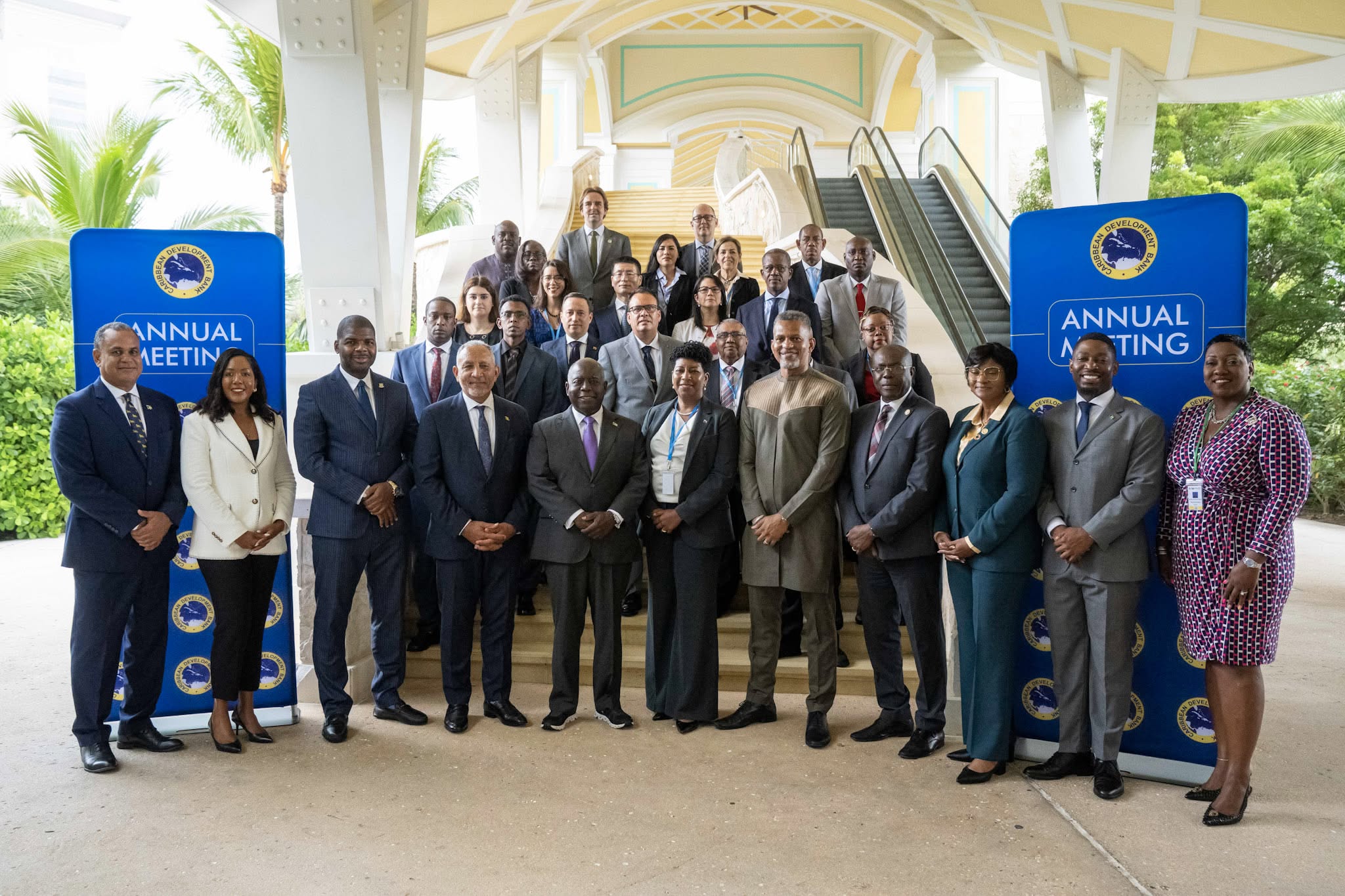
The Bahamas, June 9, 2026 – The Caribbean Development Bank’s annual gathering may have concluded in The Bahamas, but attention is already turning to Belize as leadership of the institution’s Board of Governors officially changed hands.
At the close of the 56th Annual Meeting in Nassau, outgoing Chairman and CDB Governor for The Bahamas, Michael Halkitis, formally transferred the chairmanship to Belize’s Dr. Hon. Osmond Martinez, continuing the Bank’s tradition of rotating leadership among its regional shareholders.
The handover capped a week of discussions focused on financing development in an increasingly uncertain global environment and strengthening the Caribbean’s ability to withstand economic and climate-related shocks.
One of the meeting’s most closely watched conversations centered on how multilateral development banks can better support vulnerable Small Island Developing States.
During the President’s Chat, titled Financing the Future: MDB Strategies for Uncertain Times, CDB President Daniel Best joined leaders from the OPEC Fund, the Central American Bank for Economic Integration and the Fund for Responding to Loss and Damage to discuss expanding development finance and building resilience.
OPEC Fund President Dr. Abdulhamid Alkhalifa emphasized that development institutions must move beyond responding to crises and instead help countries prepare for them.
“The real test is whether we can help countries move from strategy to implementation, and from implementation to results,” Alkhalifa said.
The discussions reflected a growing regional push for innovative financing solutions as Caribbean nations continue to confront climate vulnerability, infrastructure demands and economic uncertainty.
Beyond discussions on financing and resilience, the Annual Meeting also featured youth engagement activities, including the Youth FIRE Forum, where young Caribbean leaders participated in conversations about innovation, entrepreneurship, leadership and the future of regional development. Senior government officials, development professionals and youth delegates exchanged ideas on the challenges and opportunities facing the next generation, reinforcing a recurring message throughout the conference: that investments made today must ultimately improve opportunities for Caribbean youth tomorrow.
That theme was echoed by Bahamas Prime Minister Philip Davis, who used the opening ceremony to challenge regional leaders to invest in future generations.
“We must invest in the one asset that no agency can ever downgrade, and that no storm can ever wash away: the mind of a Caribbean child,” Davis told delegates.
With Belize now assuming the chairmanship, regional leaders say the focus remains on transforming ideas discussed in Nassau into tangible results for Caribbean people.
Angle by Deandrea Hamilton. Built with ChatGPT (AI). Magnetic Media — CAPTURING LIFE.

ABACO, BAHAMAS — Nearly two months after American sailor Lynette Hooker vanished in waters off Abaco, investigators are preparing to conduct a new search based on GPS and navigation data that reportedly challenges the account originally provided by her husband.
The case, which first drew international attention in early April, began when Brian Hooker told authorities that his wife was swept away after falling from an inflatable dinghy during rough conditions in waters near Elbow Cay.
Initial search efforts involving Bahamian and U.S. authorities covered extensive areas of the Sea of Abaco but failed to locate the missing Michigan woman.
Now, according to multiple U.S. media reports, investigators have obtained electronic navigation and GPS data that appears to place the couple’s dinghy in a different location from where searchers initially concentrated their efforts.
The new information has prompted authorities to reopen search operations and seek permission for divers to examine a more targeted area of the Sea of Abaco.
Unlike the broad search that followed Hooker’s disappearance, the renewed effort is expected to focus on a relatively shallow section of water, reportedly about 25 feet deep. Investigators believe the location may offer a better opportunity to recover evidence and potentially answer lingering questions surrounding the disappearance.
The latest development marks a significant shift in the investigation.
What began as a maritime search-and-rescue operation has evolved into a complex multinational investigation involving Bahamian authorities, the United States Coast Guard and the Federal Bureau of Investigation.
Brian Hooker was detained and questioned by Bahamian authorities following his wife’s disappearance but was later released without charges. While investigators have never publicly accused him of a crime, reports indicate he remains a person of interest as authorities continue to examine the circumstances surrounding the case.
Hooker has repeatedly denied any wrongdoing and has maintained that his wife accidentally fell overboard.
The investigation has intensified in recent weeks. U.S. authorities have reportedly seized the couple’s sailboat, Soulmate, transporting the vessel to Florida for forensic examination. Investigators are said to be reviewing onboard electronics, digital records and other potential evidence as part of the ongoing inquiry.
The case has also attracted attention from Lynette Hooker’s family, who have continued to press for answers and support efforts to locate her.
The renewed search comes after Brian Hooker returned to the United States following the disappearance. Reports indicate he cited family reasons, including concerns about his mother’s health, for leaving The Bahamas.
For investigators, however, the focus now appears fixed on the newly identified search area and the electronic evidence that led them there.
Whether the latest operation produces answers remains to be seen. But nearly eight weeks after Lynette Hooker disappeared in the waters of Abaco, authorities believe new technology and new information may finally provide a clearer picture of what happened that night.


-
 News5 days ago
Platinum Sponsor Beaches Turks & Caicos celebrates top Corporate Engagement title at DG’s 5K 2026
-

 News5 days ago
Beaches Turks & Caicos wrapped up another successful Provo Men’s Premier League season
-

 News6 days ago
DDME LAUNCHES 2026 ATLANTIC HURRICANE SEASON WITH CHURCH VISITS
-

 News6 days ago
Experience Turks and Caicos and Statistics Authority Publish Latest Visitor Exit Survey Report
-
 Bahamas News6 days ago
Where to Draw the Line? TCI and Bahamas Advance Maritime Boundary Talks
-

 News6 days ago
The Cost of Unprotected Culture