Uncategorized
Category 3 Hurricane Lorenzo plowing toward Azores


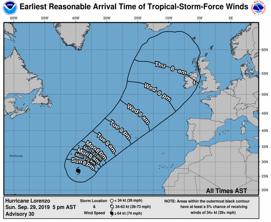
A turn to the northeast is expected on Monday with a gradual increase in forward speed through Wednesday or Hurricane Lorenzo. Maximum sustained winds are near 115 mph (185 km/h) with higher gusts. Lorenzo is a category 3 hurricane on the Saffir-Simpson Hurricane Wind Scale. Gradual weakening is expected over the next couple of days, but Lorenzo is expected to remain a large hurricane throughout that time.
Hurricane-force winds extend outward up to 80 miles (130 km) from the center and tropical-storm-force winds extend outward up to 255 miles (405 km).
The estimated minimum central pressure based on data from the NOAA reconnaissance aircraft is 948 mb (28.00 inches).
HAZARDS AFFECTING LAND
Key messages for Lorenzo can be found in the Tropical Cyclone Discussion under AWIPS header MIATCDAT3 and WMO header WTNT43 KNHC and on the web at www.hurricanes.gov/text/MIATCDAT3.shtml


RAINFALL: Lorenzo is expected to produce total rain accumulations of 3 to 6 inches over much of the western Azores and 1 to 2 inches over the central Azores Tuesday and Wednesday. This rainfall could cause life-threatening flash flooding in the western Azores.
SURF: Swells generated by Lorenzo are spreading across much of the North Atlantic basin. These swells are likely to cause life-threatening surf and rip current conditions. Please consult products from your local weather office.