TCI News
TCI: Project Announced to Enhance Environmental Protection

#Providenciales, March 20, 2019 – Turks and Caicos – A collaborative project to develop an evidence base of environmental data, for policy formation and evaluation, on the Turks and Caicos Islands (TCI) and the British Virgin Islands (BVI) has been announced. Funded by UK Darwin Plus it focuses on the mapping and modelling of environmental risk, monitoring the islands’ recovery following recent hurricanes, and aims to provide information to help the islands to maintain their environmental resilience.


This is a collaborative project between Environment Systems Ltd, the Government of TCI, the National Parks Trust of BVI and Joint Nature Conservation Committee (JNCC). It will help to develop skills in government staff which will enable them to use data from earth observation satellites providing the evidence to determine risks, focus recovery and select any opportunities to enhance the environment. When staff are able to generate the mapping and modelling themselves, the islands can really start to benefit from these new techniques and sources of data. This will also improve the capability of officials by enabling them to present evidence in their day-to-day work and to help keep the islands “beautiful by nature.”
“We are grateful to have persons receive training in this important area, which will help strengthen our competencies in identifying and reducing the risks and impacts of a natural disaster”, expressed the Honourable Minister Ralph Higgs, Ministry of Tourism, Environment, Heritage, Maritime & Gaming, Turks & Caicos Islands Government.
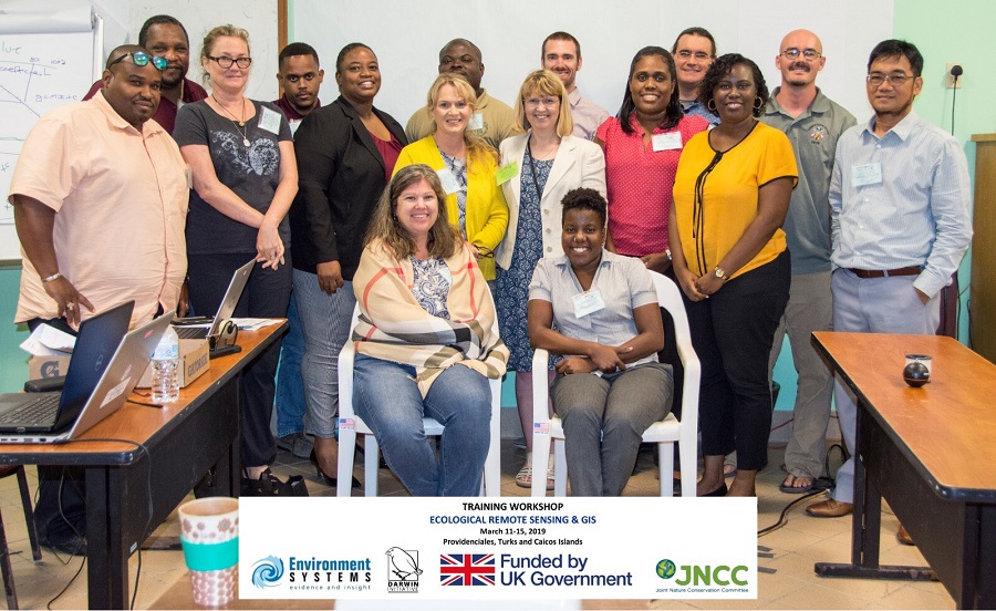
A workshop taking place on TCI, run by Environment Systems Ltd, involves staff from BVI and TCI and is running from Monday 11th – Friday 15th March. Delegates will be studying techniques which can uncover the hidden value that our environment is providing in terms of essential services, such as water, food and flood resilience. It will also explore how environmental indicators can be developed to monitor any changes that impact long-term environmental sustainability. There are huge benefits that come from shared experience across delegates from BVI, TCI and the UK that such workshops facilitate.

The success of the project will be measured by the ability of staff to use new types of data to analyse, monitor and assess environmental risks. This will enable them to identify opportunities that both safeguard and enhance the islands’ environments and ensure their resilience in the future. New IT equipment has also been delivered as part of the project ensuring long-term impact. Island staff will benefit from continuous and up-to-date stream of satellite data delivered direct to their computers.
The project builds on previous work which mapped the vulnerability of five Overseas Territories (including TCI) from 2017 onwards. It will also support future projects, such as the monitoring of sargassum seaweed as an environmental indicator. It will also support the work of the Conflict, Stability & Security Fund (CSSF) on Natural Capital and Environmental Indicators.
Press Release: TCIG