Bahamas News
BAHAMAS: New geography curriculum on the way for high schools

#Nassau, November 17, 2018 – Bahamas – The Ministry of Education (MOE) is revising the geography curriculum used in public high schools throughout The Bahamas.

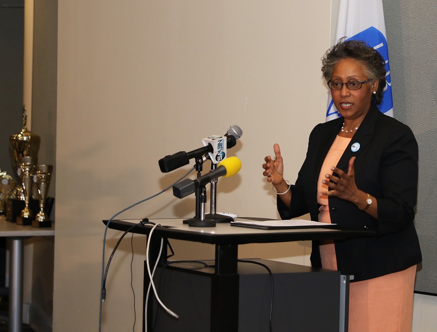
Ms. Baker explained that a GIS platform is included in the document for the new curriculum that will change the dynamics of how geography is taught. She said presently software is being used to provide knowledge for what is taking place in this era while The Bahamas continues to use old, ordinance survey maps. The new curriculum will upgrade the Ministry to 21st century standards. Ms. Baker also noted that there is an “urgent” need for 21st century training in GIS.
The focus of the week-long celebrations is to improve GIS literacy and to encourage institutions to integrate the technology in the existing curriculum.
Students from public and private high schools in New Providence and the Family Islands demonstrated their knowledge and skills of geographic information education during the GIS competition.
Representing Doris Johnson Senior High School, Central Eleuthera High School, C. R. Walker Senior High School, Huntley Christie High School and Queen’s College, the students made group presentations that depicted the use of technology as disaster managers.
Their exhibits, which were on display, featured GIS maps including information on the projected path of a hurricane, people affected by Hurricane Geo in San Salvador, flight durations from Southern Islands to New Providence, Long Island flood zone areas, power supply areas, surge assessment, shelters and emergency services.
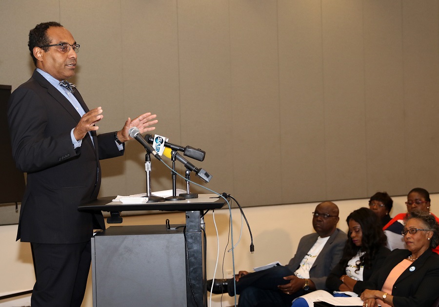
“Education is key to all of this. From a technological perspective we recognize the importance for geo-spatial technologies and the need to integrate the technology to improve government’s efficiency. Knowing what, why and where things are and how they are interrelated or connected, having access to accurate and reliable data and information in a timely manner, are prerequisites to planning, research and analysis.
“These capabilities can influence change, influence policy decisions, can help to build a stronger nation, can help us be better stewards of our beautiful country and its resources. Everyone has a role to play. Embracing the technology is a must, procrastination is not an option.
Dr. Erin Hughey, Director, Disaster Services, Pacific Disaster Centre, USA, reflected on the importance of learning not only technology, but the science behind the technology, and understanding of the importance of authoritative data and of a nationwide system that ensures interoperability between the islands. She said GIS technology is a cross-cutting science that needs to be applied in every ministry, every element across all governments.
She challenged the students to look at how they may be able to use the technology to ask innovative questions that perhaps generations have not been able to ask because they did not have the data and information.
The competition was a collaborative effort of UB, Pacific Disaster Center of the United States and BNGIS.
The week of activities also includes Curriculum Development training for stakeholders by representatives of Pacific Disaster Center of the United States.